METAR-TAF
Airports :
Santos Dumont Airport
Rio de Janeiro, Rio de Janeiro, Brazil
latitude: 22-54S, longitude: 043-10W, elevation: 3 m
Current weather observation
The report was made 55 minutes ago, at 03:00 UTC
Wind 4 kt from the East/Northeast, varying between North/Northeast and East
Temperature 21°C
Humidity 78%
Pressure 1024 hPa
Visibility 10 km or more
no clouds below 1500 m and no cumulonimbus
METAR: SBRJ 010300Z 07004KT 030V100 CAVOK 21/17 Q1024
Time: 00:55 (03:55 UTC)
Forecast
The report was made 55 minutes ago, at 03:00 UTC
Forecast valid from 01 at 06 UTC to 01 at 18 UTC
Wind 5 kt from the North
Visibility 10 km or more
Few clouds at a height of 2000 ft
Becoming
from 01 at 15 UTC to 01 at 17 UTC
from 01 at 15 UTC to 01 at 17 UTC
Wind 10 kt from the South/Southeast
Few clouds at a height of 2500 ft
TAF: SBRJ 010300Z 0106/0118 36005KT 9999 FEW020 TN21/0107Z TX25/0116Z BECMG 0115/0117 15010KT FEW025 RMK PHD
Weather observations and forecasts of more than 4000 airports (METAR and TAF reports).
The available stations are represented by yellow and red dots on the map.
Hover mouse over dot to see the name of the station.
Then click to see weather observations and forecasts.
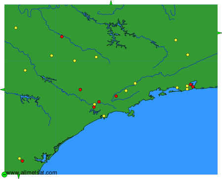
To change the map : click on the green buttons with a black cross to zoom in, on the green button with a dash to zoom out, or on the green arrows for adjacent maps.