METAR-TAF
Airports :
Cesária Évora Airport
São Vicente, Cape Verde
latitude: 16-49-59N, longitude: 25-03-25W, elevation: 20 m
Current weather observation
The report was made 48 minutes ago, at 17:00 UTC
Wind 15 kt from the Northeast
Temperature 30°C
Humidity 62%
Pressure 1013 hPa
Visibility 10 km or more
Few clouds at a height of 1800 ft
Scattered clouds at a height of 10000 ft
Scattered clouds at a height of 10000 ft
METAR: GVSV 241700Z 04015KT 9999 FEW018 SCT100 30/22 Q1013 NOSIG
Time: 16:48 (17:48 UTC)
Forecast
The report was made 48 minutes ago, at 17:00 UTC
Forecast valid from 24 at 18 UTC to 25 at 24 UTC
Wind 17 kt from the Northeast
Visibility 10 km or more
Few clouds at a height of 2000 ft
TAF: GVSV 241700Z 2418/2524 05017KT 9999 FEW020
Weather observations and forecasts of more than 4000 airports (METAR and TAF reports).
The available stations are represented by yellow and red dots on the map.
Hover mouse over dot to see the name of the station.
Then click to see weather observations and forecasts.
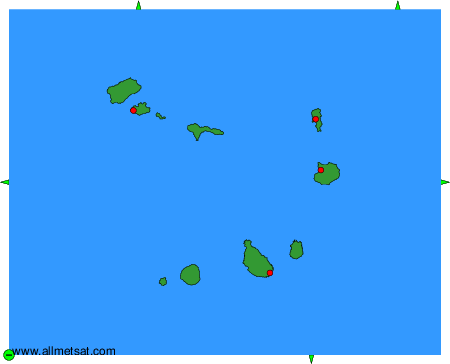
To change the map : click on the green buttons with a black cross to zoom in, on the green button with a dash to zoom out, or on the green arrows for adjacent maps.