METAR-TAF
Airports :
St. George Airport
St. George, Alaska, United States
latitude: 56-34-43N, longitude: 169-39-41W, elevation: 38 m
Current weather observation
The report was made 24 minutes ago, at 11:11 UTC
Wind 25 kt from the North with gusts up to 40 kt
Temperature 6°C
Humidity 87%
Pressure 1005 hPa
Visibility: 16.1 km
Broken clouds at a height of 1000 ft
Overcast at a height of 3400 ft
Overcast at a height of 3400 ft
METAR: PAPB 181111Z AUTO 35025G40KT 10SM BKN010 OVC034 06/04 A2967 RMK AO2 PK WND 34044/1056 CIG 008V015 T00610044 TSNO
Time: 03:35 (11:35 UTC)
TAF: missing
Weather observations and forecasts of more than 4000 airports (METAR and TAF reports).
The available stations are represented by yellow and red dots on the map.
Hover mouse over dot to see the name of the station.
Then click to see weather observations and forecasts.
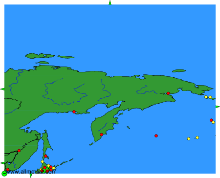
To change the map : click on the green buttons with a black cross to zoom in, on the green button with a dash to zoom out, or on the green arrows for adjacent maps.