METAR-TAF
Airports :
Durant Regional Airport–Eaker Field
Durant, Oklahoma, United States
latitude: 33-56-32N, longitude: 096-23-40W, elevation: 213 m
Current weather observation
The report was made 28 minutes ago, at 23:55 UTC
Wind 9 kt from the Southwest with gusts up to 14 kt
Temperature 39°C
Humidity 36%
Pressure 1011 hPa
Visibility: 16.1 km
Clear sky
METAR: KDUA 312355Z AUTO 23009G14KT 10SM CLR 39/21 A2985 RMK AO2
Time: 19:23 (00:23 UTC)
Forecast
The report was made 1 hour and 3 minutes ago, at 23:20 UTC
Forecast valid from 01 at 00 UTC to 01 at 24 UTC
Wind 11 kt from the South/Southwest
Visibility: 10 km
Scattered clouds at a height of 7000 ft
Broken clouds at a height of 15000 ft
Broken clouds at a height of 15000 ft
From 01 at 0200 UTC
Wind 5 kt from variable directions
Visibility: 10 km
Scattered clouds at a height of 15000 ft
Broken clouds at a height of 25000 ft
Broken clouds at a height of 25000 ft
From 01 at 1400 UTC
Wind 10 kt from the North with gusts up to 18 kt
Visibility: 10 km
TAF: KDUA 312320Z 0100/0124 21011KT P6SM SCT070 BKN150 FM010200 VRB05KT P6SM SCT150 BKN250 FM011400 01010G18KT P6SM SKC
Weather observations and forecasts of more than 4000 airports (METAR and TAF reports).
The available stations are represented by yellow and red dots on the map.
Hover mouse over dot to see the name of the station.
Then click to see weather observations and forecasts.
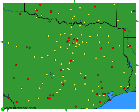
To change the map : click on the green buttons with a black cross to zoom in, on the green button with a dash to zoom out, or on the green arrows for adjacent maps.