METAR-TAF
Airports :
Victoria Regional Airport
Victoria, Texas, United States
latitude: 28-51-45N, longitude: 096-55-47W, elevation: 115 ft
Current weather observation
The report was made 49 minutes ago, at 21:51 UTC
Wind 7 mph from the North
Temperature 100°F
Humidity 29%
Pressure 29.79 in. Hg
Visibility: 10 miles
Clear sky
METAR: KVCT 022151Z 36006KT 10SM CLR 38/17 A2979 RMK AO2 SLP086 T03830172
Time: 17:40 (22:40 UTC)
Forecast
The report was made 5 hours and 4 minutes ago, at 17:36 UTC
Forecast valid from 02 at 18 UTC to 03 at 18 UTC
Wind 7 mph from variable directions
Visibility: 6 miles
Scattered clouds at a height of 4000 ft
Broken clouds at a height of 12000 ft
Broken clouds at a height of 12000 ft
showers in vicinity
From 02 at 2200 UTC
Wind 9 mph from the South/Southeast
Visibility: 6 miles
Scattered clouds at a height of 15000 ft
From 03 at 0600 UTC
Wind 5 mph from variable directions
Visibility: 6 miles
Broken clouds at a height of 25000 ft
Temporary
from 03 at 08 UTC to 03 at 12 UTC
from 03 at 08 UTC to 03 at 12 UTC
Visibility: 5 miles
mist,
TAF: KVCT 021736Z 0218/0318 VRB06KT P6SM VCSH SCT040 BKN120 FM022200 15008KT P6SM SCT150 FM030600 VRB04KT P6SM BKN250 TEMPO 0308/0312 5SM BR
Weather observations and forecasts of more than 4000 airports (METAR and TAF reports).
The available stations are represented by yellow and red dots on the map.
Hover mouse over dot to see the name of the station.
Then click to see weather observations and forecasts.
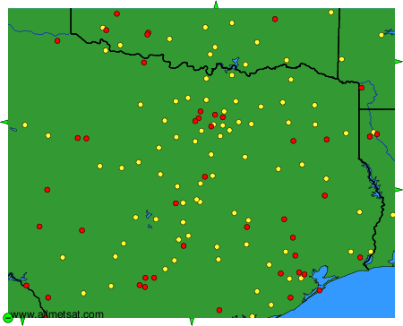
To change the map : click on the green buttons with a black cross to zoom in, on the green button with a dash to zoom out, or on the green arrows for adjacent maps.