METAR-TAF
Airports :
Palanga International Airport
Palanga, Lithuania
latitude: 55-55-12N, longitude: 021-03E, elevation: 10 m
Current weather observation
The report was made 29 minutes ago, at 20:20 UTC
Wind 3 kt from the West/Southwest, varying between South/Southwest and West/Northwest
Temperature 16°C
Humidity 82%
Pressure 1021 hPa
Visibility 10 km or more
Few clouds at a height of 2200 ft
METAR: EYPA 022020Z 25003KT 200V290 9999 FEW022 16/13 Q1021
Time: 23:49 (20:49 UTC)
Forecast
The report was made 3 hours and 49 minutes ago, at 17:00 UTC
Forecast valid from 02 at 18 UTC to 03 at 18 UTC
Wind 3 kt from variable directions
Visibility: 8000 m
Temporary
from 02 at 20 UTC to 03 at 05 UTC
from 02 at 20 UTC to 03 at 05 UTC
Visibility: 5000 m
Shallow fog, mist
Probability 40% :
Temporary
from 02 at 20 UTC to 03 at 05 UTC
from 02 at 20 UTC to 03 at 05 UTC
Visibility: 0600 m
fog,
TAF: EYPA 021700Z 0218/0318 VRB03KT 8000 NSC TEMPO 0220/0305 5000 MIFG BR PROB40 TEMPO 0220/0305 0600 FG
Weather observations and forecasts of more than 4000 airports (METAR and TAF reports).
The available stations are represented by yellow and red dots on the map.
Hover mouse over dot to see the name of the station.
Then click to see weather observations and forecasts.
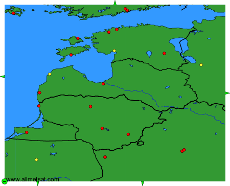
To change the map : click on the green buttons with a black cross to zoom in, on the green button with a dash to zoom out, or on the green arrows for adjacent maps.