METAR-TAF
Airports :
Storck Barracks
Illesheim, Germany
latitude: 49-28N, longitude: 010-23E, elevation: 325 m
Current weather observation
The report was made 56 minutes ago, at 18:55 UTC
Wind 6 kt from the East/Northeast
Temperature 8°C
Humidity 61%
Pressure 1024 hPa
Visibility 10 km or more
Clear sky
METAR: ETIK 181855Z AUTO 07006KT 9999 CLR 08/01 A3025 RMK AO2 SLP254 T00820011
Time: 20:51 (19:51 UTC)
Forecast
The report was made 4 hours and 51 minutes ago, at 15:00 UTC
Forecast valid from 18 at 15 UTC to 19 at 21 UTC
Wind 9 kt from the East
Visibility 10 km or more
Clear sky
Temporary
from 18 at 15 UTC to 18 at 17 UTC
from 18 at 15 UTC to 18 at 17 UTC
Wind 12 kt from the East with gusts up to 20 kt
Visibility: 1907 m
TAF: ETIK 181500Z 1815/1921 09009KT 9999 SKC QNH3026INS TEMPO 1815/1817 09012G20KT TX14/1815Z TN01/1905Z LAST NO AMDS AFT 1822 NEXT 1907
Weather observations and forecasts of more than 4000 airports (METAR and TAF reports).
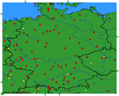
The available stations are represented by yellow and red dots on the map.
Hover mouse over dot to see the name of the station.
Then click to see weather observations and forecasts.

To change the map : click on the green buttons with a black cross to zoom in, on the green button with a dash to zoom out, or on the green arrows for adjacent maps.