METAR-TAF
Airports :
Ramón Villeda Morales International Airport
San Pedro Sula, Honduras
latitude: 15-27N, longitude: 087-56W, elevation: 31 m
Current weather observation
The report was made 13 minutes ago, at 11:00 UTC
Wind 2 kt from variable directions
Temperature 24°C
Humidity 100%
Pressure 1015 hPa
Visibility 10 km or more
Scattered clouds at a height of 2600 ft
METAR: MHLM 261100Z VRB02KT 9999 SCT026 24/24 Q1015 A2997 NOSIG
Time: 05:13 (11:13 UTC)
Forecast
The report was made 13 minutes ago, at 11:00 UTC
Forecast valid from 26 at 12 UTC to 27 at 12 UTC
Wind 3 kt from variable directions
Visibility 10 km or more
Scattered clouds at a height of 2600 ft
Becoming
from 26 at 18 UTC to 26 at 20 UTC
from 26 at 18 UTC to 26 at 20 UTC
Wind 14 kt from the North/Northeast
Scattered clouds at a height of 3400 ft, Towering cumulus.
Temporary
from 26 at 20 UTC to 27 at 01 UTC
from 26 at 20 UTC to 27 at 01 UTC
Visibility: 7000 m
rain showers
Becoming
from 27 at 02 UTC to 27 at 04 UTC
from 27 at 02 UTC to 27 at 04 UTC
Wind 3 kt from variable directions
Few clouds at a height of 2800 ft
TAF: MHLM 261100Z 2612/2712 VRB03KT 9999 SCT026 TX34/2621Z TN23/2712Z BECMG 2618/2620 03014KT SCT034TCU TEMPO 2620/2701 7000 SHRA BECMG 2702/2704 VRB03KT FEW028
Weather observations and forecasts of more than 4000 airports (METAR and TAF reports).
The available stations are represented by yellow and red dots on the map.
Hover mouse over dot to see the name of the station.
Then click to see weather observations and forecasts.
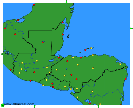
To change the map : click on the green buttons with a black cross to zoom in, on the green button with a dash to zoom out, or on the green arrows for adjacent maps.