METAR-TAF
Airports :
O'Hare International Airport
Chicago, Illinois, United States
latitude: 41-58-47N, longitude: 087-54-16W, elevation: 666 ft
Current weather observation
The report was made 15 minutes ago, at 21:51 UTC
Wind 13 mph from the Northeast with gusts up to 20 mph
Temperature 75°F
Humidity 65%
Pressure 29.94 in. Hg
Visibility: 10 miles
Few clouds at a height of 2500 ft
Few clouds at a height of 7000 ft
Broken clouds at a height of 25000 ft
Few clouds at a height of 7000 ft
Broken clouds at a height of 25000 ft
METAR: KORD 272151Z 05011G17KT 10SM FEW025 FEW070 BKN250 24/17 A2994 RMK AO2 SLP135 T02440167 $
Time: 17:06 (22:06 UTC)
Forecast
The report was made 1 hour and 5 minutes ago, at 21:01 UTC
Forecast valid from 27 at 21 UTC to 28 at 24 UTC
Wind 13 mph from the East/Northeast
Visibility: 6 miles
Scattered clouds at a height of 3500 ft
Broken clouds at a height of 6000 ft
Broken clouds at a height of 6000 ft
From 28 at 0200 UTC
Wind 7 mph from the Northeast
Visibility: 6 miles
Broken clouds at a height of 5000 ft
From 28 at 1300 UTC
Wind 12 mph from the East/Southeast
Visibility: 6 miles
Scattered clouds at a height of 5000 ft
TAF: KORD 272101Z 2721/2824 06011KT P6SM SCT035 BKN060 FM280200 05006KT P6SM BKN050 FM281300 11010KT P6SM SCT050
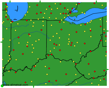
Weather observations and forecasts of more than 4000 airports (METAR and TAF reports).
The available stations are represented by yellow and red dots on the map.
Hover mouse over dot to see the name of the station.
Then click to see weather observations and forecasts.
To change the map : click on the green buttons with a black cross to zoom in, on the green button with a dash to zoom out, or on the green arrows for adjacent maps.