METAR-TAF
Airports :
Marine Corps Air Station Iwakuni
Iwakuni, Japan
latitude: 34-08N, longitude: 132-14E, elevation: 2 m
Current weather observation
Broken clouds at a height of 20000 ft
METAR: RJOI 291956Z 32004KT 9999 BKN100 BKN200 27/23 A2977 RMK AO2A SLP079 T02670233
Time: 05:59 (20:59 UTC)
Forecast
Few clouds at a height of 10000 ft
Scattered clouds at a height of 20000 ft
Scattered clouds at a height of 10000 ft
Broken clouds at a height of 20000 ft
Few clouds at a height of 5000 ft
Scattered clouds at a height of 20000 ft
Few clouds at a height of 3000 ft
TAF: RJOI 291200Z 2913/3019 32006KT 9999 FEW030 FEW100 SCT200 QNH2974INS FM292100 VRB06KT 9999 FEW030 SCT100 BKN200 QNH2969INS FM300400 23009KT 9999 FEW030 FEW050 SCT200 QNH2966INS FN300900 VRB06KT 9999 FEW030 QNH2966INS FM301500 32007KT 9999 FEW030 QNH2971INS TX36/3006Z TN27/2920Z LAST NO AMDS AFT 2914 NEXT 2921
Weather observations and forecasts of more than 4000 airports (METAR and TAF reports).
The available stations are represented by yellow and red dots on the map.
Hover mouse over dot to see the name of the station.
Then click to see weather observations and forecasts.
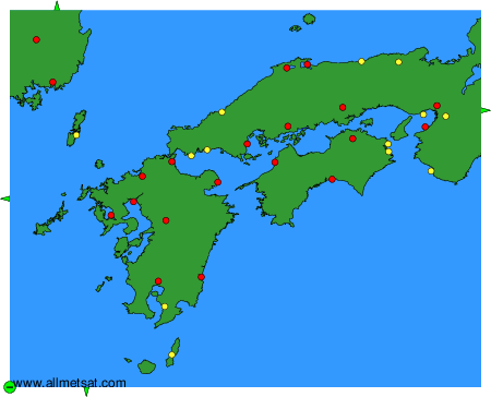
To change the map : click on the green buttons with a black cross to zoom in, on the green button with a dash to zoom out, or on the green arrows for adjacent maps.