METAR-TAF
Airports :
Matsuyama Airport
Matsuyama, Japan
latitude: 33-49N, longitude: 132-42E, elevation: 4 m
Current weather observation
The report was made 58 minutes ago, at 22:00 UTC
Wind 6 kt from the South
Temperature 29°C
Humidity 74%
Pressure 1009 hPa
Visibility 10 km or more
Few clouds at a height of 2000 ft
Broken clouds at a height of 2500 ft
Broken clouds
Broken clouds at a height of 2500 ft
Broken clouds
METAR: RJOM 292200Z 18006KT 9999 FEW020 BKN025 BKN/// 29/24 Q1009
Time: 07:58 (22:58 UTC)
Forecast
The report was made 5 hours and 53 minutes ago, at 17:05 UTC
Forecast valid from 29 at 18 UTC to 31 at 00 UTC
Wind 6 kt from the South/Southwest
Visibility 10 km or more
Few clouds at a height of 3000 ft
TAF: RJOM 291705Z 2918/3100 20006KT 9999 FEW030
Weather observations and forecasts of more than 4000 airports (METAR and TAF reports).
The available stations are represented by yellow and red dots on the map.
Hover mouse over dot to see the name of the station.
Then click to see weather observations and forecasts.
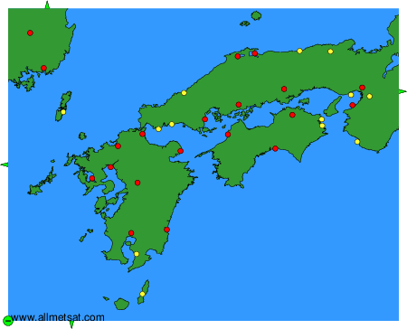
To change the map : click on the green buttons with a black cross to zoom in, on the green button with a dash to zoom out, or on the green arrows for adjacent maps.