METAR-TAF
Airports :
Gimhae International Airport
Busan, South Korea
latitude: 35-11N, longitude: 128-56E, elevation: 4 m
Current weather observation
The report was made 1 hour and 6 minutes ago, at 00:00 UTC
Wind 2 kt from the West
Temperature 32°C
Humidity 71%
Pressure 1012 hPa
Visibility 10 km or more
Few clouds at a height of 3000 ft
Scattered clouds at a height of 25000 ft
Scattered clouds at a height of 25000 ft
METAR: RKPK 270000Z 26002KT 9999 FEW030 SCT250 32/26 Q1012
Time: 10:06 (01:06 UTC)
Forecast
The report was made 2 hours and 6 minutes ago, at 23:00 UTC
Forecast valid from 27 at 00 UTC to 28 at 06 UTC
Wind 10 kt from the South/Southwest
Visibility 10 km or more
Scattered clouds at a height of 3000 ft
Scattered clouds at a height of 20000 ft
Scattered clouds at a height of 20000 ft
Becoming
from 27 at 10 UTC to 27 at 11 UTC
from 27 at 10 UTC to 27 at 11 UTC
Wind 6 kt from the South/Southwest
Becoming
from 28 at 01 UTC to 28 at 02 UTC
from 28 at 01 UTC to 28 at 02 UTC
Wind 10 kt from the West/Southwest
TAF: RKPK 262300Z 2700/2806 21010KT 9999 SCT030 SCT200 TN26/2720Z TX38/2806Z BECMG 2710/2711 21006KT BECMG 2801/2802 24010KT
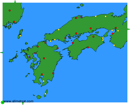
Weather observations and forecasts of more than 4000 airports (METAR and TAF reports).
The available stations are represented by yellow and red dots on the map.
Hover mouse over dot to see the name of the station.
Then click to see weather observations and forecasts.
To change the map : click on the green buttons with a black cross to zoom in, on the green button with a dash to zoom out, or on the green arrows for adjacent maps.