METAR-TAF
Airports :
Guelmim Airport
Guelmim, Morocco
latitude: 29-01-00N, longitude: 10-04-04W, elevation: 301 m
Current weather observation
The report was made 1 hour and 3 minutes ago, at 13:00 UTC
Wind 8 kt from the West/Southwest
Temperature 32°C
Humidity 46%
Pressure 1013 hPa
Visibility: 7000 m
Few clouds at a height of 1600 ft
METAR: GMAG 211300Z 25008KT 7000 FEW016 32/19 Q1013 NOSIG
Time: 15:03 (14:03 UTC)
Forecast
The report was made 3 hours and 3 minutes ago, at 11:00 UTC
Forecast valid from 21 at 12 UTC to 22 at 18 UTC
Wind 18 kt from the Southwest
Visibility: 7000 m
Temporary
from 21 at 13 UTC to 21 at 20 UTC
from 21 at 13 UTC to 21 at 20 UTC
Wind 20 kt from the West
TAF: GMAG 211100Z 2112/2218 22018KT 7000 NSC TEMPO 2113/2120 28020KT
Weather observations and forecasts of more than 4000 airports (METAR and TAF reports).
The available stations are represented by yellow and red dots on the map.
Hover mouse over dot to see the name of the station.
Then click to see weather observations and forecasts.
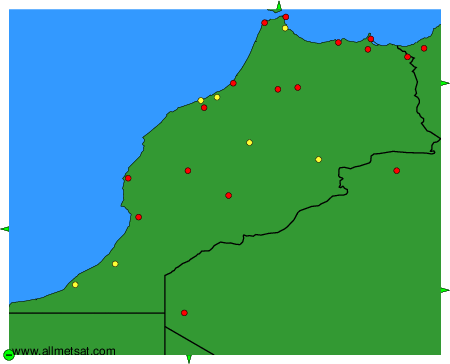
To change the map : click on the green buttons with a black cross to zoom in, on the green button with a dash to zoom out, or on the green arrows for adjacent maps.