METAR-TAF
Airports :
Angads Airport
Oujda, Morocco
latitude: 34-47N, longitude: 001-56W, elevation: 468 m
Current weather observation
The report was made 15 minutes ago, at 11:30 UTC
Wind 3 kt from variable directions
Temperature 36°C
Humidity 13%
Pressure 1021 hPa
Visibility 10 km or more
no clouds below 1500 m and no cumulonimbus
METAR: GMFO 061130Z VRB03KT CAVOK 36/03 Q1021 NOSIG
Time: 12:45 (11:45 UTC)
Forecast
The report was made 45 minutes ago, at 11:00 UTC
Forecast valid from 06 at 12 UTC to 07 at 18 UTC
Wind 14 kt from the North
Visibility 10 km or more
no clouds below 1500 m and no cumulonimbus
Temporary
from 07 at 02 UTC to 07 at 07 UTC
from 07 at 02 UTC to 07 at 07 UTC
Wind 6 kt from the Southwest
TAF: GMFO 061100Z 0612/0718 36014KT CAVOK TEMPO 0702/0707 22006KT
Weather observations and forecasts of more than 4000 airports (METAR and TAF reports).
The available stations are represented by yellow and red dots on the map.
Hover mouse over dot to see the name of the station.
Then click to see weather observations and forecasts.
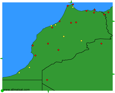
To change the map : click on the green buttons with a black cross to zoom in, on the green button with a dash to zoom out, or on the green arrows for adjacent maps.