METAR-TAF
Airports :
Hosea Kutako International Airport
Windhoek, Namibia
latitude: 22-29S, longitude: 017-28E, elevation: 1715 m
Current weather observation
The report was made 12 minutes ago, at 14:00 UTC
Wind 7 kt from the East/Southeast
Temperature 26°C
Humidity 30%
Pressure 1021 hPa
Visibility 10 km or more
Few clouds at a height of 3000 ft
Broken clouds at a height of 3500 ft, Towering cumulus.
Broken clouds at a height of 3500 ft, Towering cumulus.
METAR: FYWH 131400Z 12007KT 9999 FEW030 BKN035TCU 26/07 Q1021
Time: 16:12 (14:12 UTC)
Forecast
The report was made 4 hours and 12 minutes ago, at 10:00 UTC
Forecast valid from 13 at 12 UTC to 14 at 12 UTC
Wind 10 kt from the East
Visibility 10 km or more
Scattered clouds at a height of 4000 ft
Becoming
from 13 at 16 UTC to 13 at 18 UTC
from 13 at 16 UTC to 13 at 18 UTC
Wind 6 kt from the North/Northeast
Visibility 10 km or more
no clouds below 1500 m and no cumulonimbus
Becoming
from 14 at 00 UTC to 14 at 02 UTC
from 14 at 00 UTC to 14 at 02 UTC
Wind 5 kt from the West
TAF: FYWH 131000Z 1312/1412 09010KT 9999 SCT040 BECMG 1316/1318 03006KT CAVOK BECMG 1400/1402 27005KT
Weather observations and forecasts of more than 4000 airports (METAR and TAF reports).
The available stations are represented by yellow and red dots on the map.
Hover mouse over dot to see the name of the station.
Then click to see weather observations and forecasts.
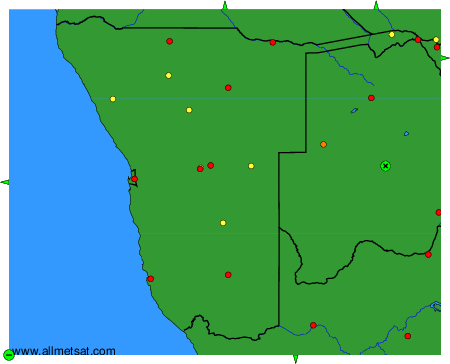
To change the map : click on the green buttons with a black cross to zoom in, on the green button with a dash to zoom out, or on the green arrows for adjacent maps.