METAR-TAF
Airports :
Bishop
Bishop
Boulder City
Bridgeport
Carson City
Cedar City
Colorado City
Delta
Elko
Ely
Eureka
Fallon
Fresno
Fresno
Hanford
Henderson
Indian Springs
Las Vegas
Lemoore
Lovelock
Madera
Mammoth Lakes
Mercury
Milford
Minden
Nellis
North Las Vegas
Porterville
Reno
Reno
South Lake Tahoe
St. George
Tonopah
Truckee
Visalia
Wendover
Winnemucca
Nevada
Arizona
California, North
California, South
Idaho
North America
Oregon
Utah
Eastern Sierra Regional Airport Bishop, California, United States
latitude: 37-22-16N, longitude: 118-21-29W, elevation: 4120 ft
Current weather observation The report was made 12 minutes ago, at 06:56 UTC
Wind 6 mph from the North/Northwest
Temperature 43 °F
Humidity 42 %
Pressure 30.08 in. Hg
Visibility: 10 miles
Clear sky
METAR: KBIH 060656Z AUTO 33005KT 10SM CLR 06/M06 A3008 RMK AO2 SLP158 T00611056
Time: 00:08 (07:08 UTC) Forecast The report was made 1 hour and 48 minutes ago, at 05:20 UTC
Forecast valid from 06 at 06 UTC to 07 at 06 UTC
Wind 8 mph from the Southeast
Visibility: 6 miles
Broken clouds at a height of 12000 ft Broken clouds at a height of 15000 ft
From 06 at 0900 UTC
Wind 6 mph from the North/Northwest
Visibility: 6 miles
Broken clouds at a height of 12000 ft Broken clouds at a height of 15000 ft
From 06 at 2200 UTC
Wind 9 mph from the West/Northwest
Visibility: 6 miles
Scattered clouds at a height of 8000 ft Broken clouds at a height of 10000 ft
From 07 at 0300 UTC
Wind 7 mph from the North/Northwest
Visibility: 6 miles
Few clouds at a height of 10000 ft
TAF: KBIH 060520Z 0606/0706 13007KT P6SM BKN120 BKN150 FM060900 33005KT P6SM BKN120 BKN150 FM062200 29008KT P6SM SCT080 BKN100 FM070300 34006KT P6SM FEW100
Weather observations and forecasts of more than 4000 airports (METAR and TAF reports).
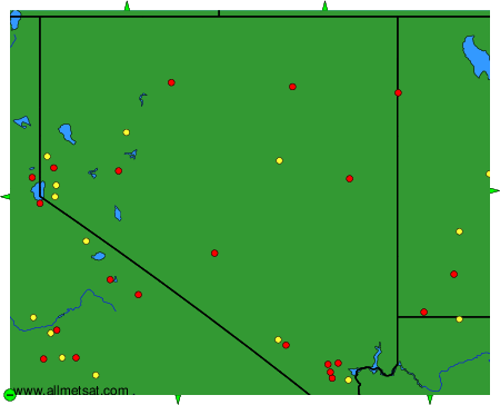
The available stations are represented by yellow and red dots on the map.
Hover mouse over dot to see the name of the station.
Then click to see weather observations and forecasts.
To change the map : click on the green buttons with a black cross to zoom in, on the green button with a dash to zoom out, or on the green arrows for adjacent maps.
