METAR-TAF
Airports :
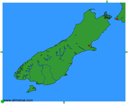
Christchurch International Airport
Christchurch, New Zealand
latitude: 43-29S, longitude: 172-33E, elevation: 38 m
Current weather observation
The report was made 24 minutes ago, at 08:30 UTC
Wind 4 kt from the North
Temperature 7°C
Humidity 81%
Pressure 1017 hPa
Visibility 10 km or more
METAR: NZCH 290830Z AUTO 01004KT 9999 NCD 07/04 Q1017
Time: 20:54 (08:54 UTC)
Forecast
The report was made 49 minutes ago, at 08:05 UTC
Forecast valid from 29 at 09 UTC to 30 at 12 UTC
Wind 5 kt from the North/Northeast
Visibility 10 km or more
no clouds below 1500 m and no cumulonimbus
Becoming
from 29 at 22 UTC to 29 at 24 UTC
from 29 at 22 UTC to 29 at 24 UTC
Wind 15 kt from the North/Northeast
TAF: NZCH 290805Z 2909/3012 03005KT CAVOK BECMG 2922/2924 03015KT
Weather observations and forecasts of more than 4000 airports (METAR and TAF reports).
The available stations are represented by yellow and red dots on the map.
Hover mouse over dot to see the name of the station.
Then click to see weather observations and forecasts.
To change the map : click on the green buttons with a black cross to zoom in, on the green button with a dash to zoom out, or on the green arrows for adjacent maps.