METAR-TAF
Airports :
RAF Lossiemouth
Lossiemouth, Scotland
latitude: 57-43N, longitude: 003-19W, elevation: 13 m
Current weather observation
The report was made 34 minutes ago, at 00:50 UTC
Wind 4 kt from the West/Southwest
Temperature 13°C
Humidity 88%
Pressure 998 hPa
Visibility 10 km or more
Few clouds at a height of 2700 ft
Scattered clouds at a height of 3500 ft
Broken clouds at a height of 4500 ft
Scattered clouds at a height of 3500 ft
Broken clouds at a height of 4500 ft
METAR: EGQS 260050Z 25004KT 9999 FEW027 SCT035 BKN045 13/11 Q0998 RMK BLU
Time: 02:24 (01:24 UTC)
Forecast
The report was made 2 hours and 38 minutes ago, at 22:46 UTC
Forecast valid from 26 at 00 UTC to 26 at 18 UTC
Wind 6 kt from the West/Southwest
Visibility 10 km or more
Scattered clouds at a height of 4000 ft
Temporary
from 26 at 01 UTC to 26 at 05 UTC
from 26 at 01 UTC to 26 at 05 UTC
Visibility: 7000 m
Scattered clouds at a height of 2000 ft
rain
Temporary
from 26 at 05 UTC to 26 at 12 UTC
from 26 at 05 UTC to 26 at 12 UTC
Visibility: 4000 m
Scattered clouds at a height of 1000 ft
rain, drizzle
Probability 30% :
Temporary
from 26 at 06 UTC to 26 at 09 UTC
from 26 at 06 UTC to 26 at 09 UTC
Visibility: 3500 m
Scattered clouds at a height of 600 ft
Broken clouds at a height of 800 ft
Broken clouds at a height of 800 ft
rain showers
TAF: EGQS 252246Z 2600/2618 24006KT 9999 SCT040 TEMPO 2601/2605 7000 RA SCT020 TEMPO 2605/2612 4000 RADZ SCT010 PROB30 TEMPO 2606/2609 3500 SHRA SCT006 BKN008
Weather observations and forecasts of more than 4000 airports (METAR and TAF reports).
The available stations are represented by yellow and red dots on the map.
Hover mouse over dot to see the name of the station.
Then click to see weather observations and forecasts.
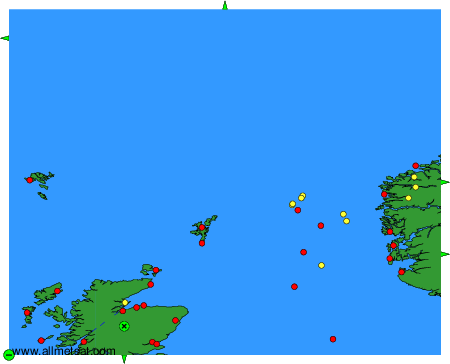
To change the map : click on the green buttons with a black cross to zoom in, on the green button with a dash to zoom out, or on the green arrows for adjacent maps.