METAR-TAF
Airports :
Bergen Airport. Flesland
Bergen, Norway
latitude: 60-17N, longitude: 005-14E, elevation: 5 m
Current weather observation
Scattered clouds at a height of 2100 ft
METAR: ENBR 312250Z 16008KT 9999 FEW014CB SCT021 11/10 Q1013 RMK WIND 1200FT 22013KT
Time: 01:12 (23:12 UTC)
Forecast
Broken clouds at a height of 2000 ft
from 31 at 12 UTC to 31 at 20 UTC
Scattered clouds at a height of 2000 ft, Cumulonimbus.
from 31 at 23 UTC to 01 at 01 UTC
from 01 at 03 UTC to 01 at 12 UTC
Broken clouds at a height of 2000 ft, Cumulonimbus.
from 01 at 06 UTC to 01 at 10 UTC
TAF: ENBR 311100Z 3112/0112 22008KT 9999 FEW008 BKN020 TEMPO 3112/3120 SHRA BKN012 SCT020CB BECMG 3123/0101 16010KT TEMPO 0103/0112 4000 SHRA BKN007 BKN020CB TEMPO 0106/0110 25018KT
Weather observations and forecasts of more than 4000 airports (METAR and TAF reports).
The available stations are represented by yellow and red dots on the map.
Hover mouse over dot to see the name of the station.
Then click to see weather observations and forecasts.
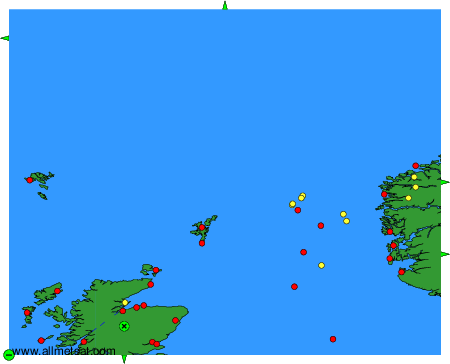
To change the map : click on the green buttons with a black cross to zoom in, on the green button with a dash to zoom out, or on the green arrows for adjacent maps.