METAR-TAF
Airports :
Gillam
Armstrong
Attawapiskat
Baudette
Bemidji
Bigfork
Big Trout Lake
Caribou Island
Chapleau
Churchill
Cook
Copper Harbor
Crane Lake
Dryden
Earlton
Ely
Eveleth
Flag Island
Fort Severn
Gillam
Gillam
Grand Marais
Grand Marais
Grand Rapids
Greenstone
Hancock
Hibbing
International Falls
Island Lake
Kapuskasing
Katatota Island
Kenora
Lansdowne House
Marathon
Moosonee
Muskrat Dam
Nagagami
Ogoki Post
Orr
Peawanuck
Pickle Lake
Pukaskwa National Park
Red Lake
Sandy Lake
Sanikiluaq
Silver Bay
Sioux Lookout
Thunder Bay
Timmins
Two Harbors
Upsala
Waskish
Wawa
Ontario, North
Manitoba
Michigan
Minnesota
North America
Nunavut
Nunavut, Baffin Island, Ellesmere
Ontario, South
Quebec
Wisconsin
Gillam Airport Gillam, Manitoba, Canada
latitude: 56-21N, longitude: 094-42W, elevation: 145 m
Current weather observation The report was made 50 minutes ago, at 04:00 UTC
Wind 5 kt from the South/Southeast
Temperature 7 °C
Humidity 49 %
Pressure 1011 hPa
Visibility: 24.1 km
Scattered clouds at a height of 17000 ft
METAR: CYGX 140400Z 16005KT 15SM SCT170 07/M03 A2986 RMK AC3 SLP123
Time: 23:50 (04:50 UTC) Forecast The report was made 4 hours and 10 minutes ago, at 00:40 UTC
Forecast valid from 14 at 01 UTC to 14 at 13 UTC
Wind 8 kt from the South/Southwest
Visibility: 10 km
Scattered clouds at a height of 9000 ft
Temporary
Visibility: 10 km
Broken clouds at a height of 9000 ft
light rain showers
From 14 at 0300 UTC
Wind 6 kt from the South
Visibility: 10 km
Few clouds at a height of 14000 ft
From 14 at 1100 UTC
Wind 5 kt from the South
Visibility: 10 km
Few clouds at a height of 6000 ft Broken clouds at a height of 9000 ft
Temporary
Broken clouds at a height of 6000 ft Overcast at a height of 9000 ft
TAF: CYGX 140040Z 1401/1413 20008KT P6SM SCT090 TEMPO 1401/1402 P6SM -SHRA BKN090 FM140300 17006KT WS005/19025KT P6SM FEW140 FM141100 17005KT P6SM FEW060 BKN090 TEMPO 1411/1413 BKN060 OVC090 RMK NXT FCST BY 140700Z
Weather observations and forecasts of more than 4000 airports (METAR and TAF reports).
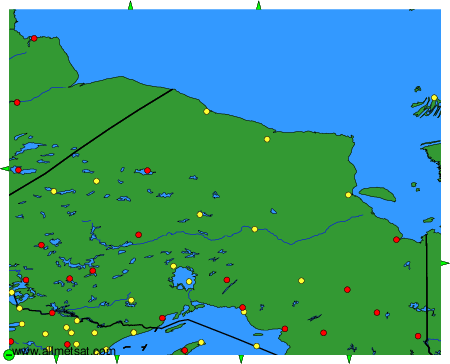
The available stations are represented by yellow and red dots on the map.
Hover mouse over dot to see the name of the station.
Then click to see weather observations and forecasts.
To change the map : click on the green buttons with a black cross to zoom in, on the green button with a dash to zoom out, or on the green arrows for adjacent maps.
