METAR-TAF
Airports :
Doctor Fernando Piragine Niveyro International Airport
Corrientes, Argentina
latitude: 27-27S, longitude: 058-46W, elevation: 62 m
Current weather observation
Overcast at a height of 4500 ft
Few clouds at a height of 5000 ft, Cumulonimbus.
METAR: SARC 011435Z 15014KT 100V170 6000 -TSRA BKN006 OVC045 FEW050CB 16/15 Q1013
Time: 12:03 (15:03 UTC)
Forecast
Overcast at a height of 4000 ft
Few clouds at a height of 5000 ft, Cumulonimbus.
from 01 at 19 UTC to 01 at 22 UTC
Broken clouds at a height of 10000 ft
from 02 at 05 UTC to 02 at 11 UTC
TAF: SARC 011100Z 0112/0212 26025G48KT 5000 +TSRA BKN004 OVC040 FEW050CB TX26/011 9Z TN15/0210Z BECMG 0119/0122 18010KT 9999 SCT030 BKN100 PROB40 0205/0211 5000 BR NSC
Weather observations and forecasts of more than 4000 airports (METAR and TAF reports).
The available stations are represented by yellow and red dots on the map.
Hover mouse over dot to see the name of the station.
Then click to see weather observations and forecasts.
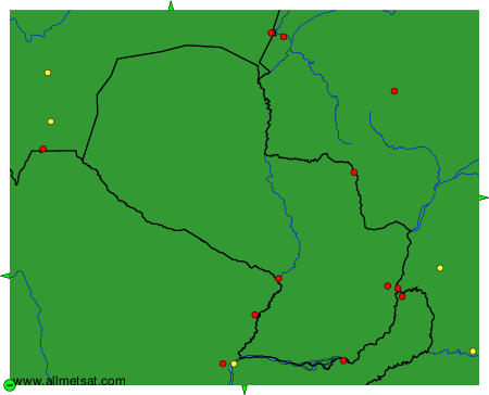
To change the map : click on the green buttons with a black cross to zoom in, on the green button with a dash to zoom out, or on the green arrows for adjacent maps.