METAR-TAF
Airports :
Resistencia International Airport
Resistencia, Argentina
latitude: 27-27S, longitude: 059-03W, elevation: 53 m
Current weather observation
The report was made 1 hour and 8 minutes ago, at 16:00 UTC
Wind 5 kt from the East
Temperature 22°C
Humidity 69%
Pressure 1012 hPa
Visibility 10 km or more
no clouds below 1500 m and no cumulonimbus
METAR: SARE 021600Z 08005KT CAVOK 22/16 Q1012
Time: 14:08 (17:08 UTC)
Forecast
The report was made 6 hours and 8 minutes ago, at 11:00 UTC
Forecast valid from 02 at 12 UTC to 03 at 12 UTC
Wind 5 kt from the East/Northeast
Visibility: 6000 m
Overcast at a height of 1000 ft
Becoming
from 02 at 15 UTC to 02 at 17 UTC
from 02 at 15 UTC to 02 at 17 UTC
Visibility 10 km or more
Broken clouds at a height of 2000 ft
Becoming
from 02 at 18 UTC to 02 at 20 UTC
from 02 at 18 UTC to 02 at 20 UTC
Wind 10 kt from the North/Northeast
Visibility 10 km or more
no clouds below 1500 m and no cumulonimbus
Probability 30%
from 03 at 08 UTC to 03 at 12 UTC
from 03 at 08 UTC to 03 at 12 UTC
Wind 2 kt from variable directions
Visibility: 1500 m
Scattered clouds at a height of 1000 ft
Shallow fog
TAF: SARE 021100Z 0212/0312 07005KT 6000 OVC010 TX25/0218Z TN18/0310Z BECMG 0215/0217 9999 BKN020 BECMG 0218/0220 02010KT CAVOK PROB30 0308/0312 VRB02KT 1500 MIFG SCT010
Weather observations and forecasts of more than 4000 airports (METAR and TAF reports).
The available stations are represented by yellow and red dots on the map.
Hover mouse over dot to see the name of the station.
Then click to see weather observations and forecasts.
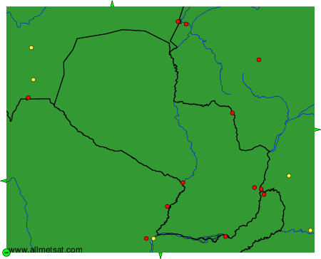
To change the map : click on the green buttons with a black cross to zoom in, on the green button with a dash to zoom out, or on the green arrows for adjacent maps.