METAR-TAF
Airports :
Cataratas del Iguazú International Airport
Iguaçu, Argentina
latitude: 25-44S, longitude: 054-28W, elevation: 270 m
Current weather observation
METAR: SARI 220800Z 05005KT 020V090 CAVOK 14/12 Q1010
Time: 05:44 (08:44 UTC)
Forecast
from 22 at 08 UTC to 22 at 10 UTC
from 22 at 10 UTC to 22 at 14 UTC
Few clouds at a height of 4500 ft, Cumulonimbus.
Overcast at a height of 5000 ft
from 22 at 14 UTC to 22 at 16 UTC
Overcast at a height of 4000 ft
from 22 at 18 UTC to 22 at 20 UTC
from 22 at 21 UTC to 22 at 23 UTC
TAF: SARI 220500Z 2206/2306 05005KT CAVOK TX17/2218Z TN12/2210Z BECMG 2208/2210 6000 SCT025 TEMPO 2210/2214 23015KT 4000 TSRA BKN020 FEW045CB OVC050 BECMG 2214/2216 18010KT 5000 -RADZ BKN010 OVC040 BECMG 2218/2220 9999 BKN025 BECMG 2221/2223 SCT020
Weather observations and forecasts of more than 4000 airports (METAR and TAF reports).
The available stations are represented by yellow and red dots on the map.
Hover mouse over dot to see the name of the station.
Then click to see weather observations and forecasts.
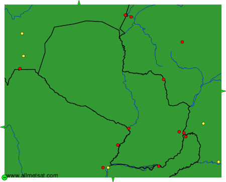
To change the map : click on the green buttons with a black cross to zoom in, on the green button with a dash to zoom out, or on the green arrows for adjacent maps.