METAR-TAF
Airports :
Corumbá International Airport
Corumbá, Mato Grosso do Sul, Brazil
latitude: 19-05S, longitude: 057-30W, elevation: 130 m
Current weather observation
The report was made 4 hours and 40 minutes ago, at 21:00 UTC
Wind 10 kt from the Northeast
Temperature 31°C
Humidity 49%
Pressure 1011 hPa
Visibility 10 km or more
no clouds below 1500 m and no cumulonimbus
METAR: SBCR 012100Z 04010KT CAVOK 31/19 Q1011
Time: 21:40 (01:40 UTC)
Forecast
The report was made 6 hours and 10 minutes ago, at 19:30 UTC
Forecast valid from 02 at 00 UTC to 02 at 24 UTC
Wind 7 kt from the North/Northeast
Visibility 10 km or more
no clouds below 1500 m and no cumulonimbus
Becoming
from 02 at 06 UTC to 02 at 08 UTC
from 02 at 06 UTC to 02 at 08 UTC
Wind 8 kt from the Southwest
Visibility: 7000 m
Scattered clouds at a height of 1600 ft
TAF: SBCR 011930Z 0200/0224 02007KT CAVOK TN22/0211Z TX26/0217Z BECMG 0206/0208 22008KT 7000 SCT016 RMK PGM
Weather observations and forecasts of more than 4000 airports (METAR and TAF reports).
The available stations are represented by yellow and red dots on the map.
Hover mouse over dot to see the name of the station.
Then click to see weather observations and forecasts.
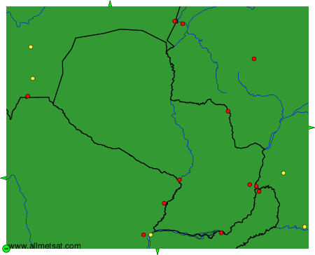
To change the map : click on the green buttons with a black cross to zoom in, on the green button with a dash to zoom out, or on the green arrows for adjacent maps.