METAR-TAF
Airports :
Foz do Iguaçu International Airport
Foz do Iguaçu, Paraná, Brazil
latitude: 25-31S, longitude: 054-35W, elevation: 180 m
Current weather observation
The report was made 13 minutes ago, at 08:00 UTC
Wind 5 kt from the West/Southwest
Temperature 12°C
Humidity 94%
Pressure 1020 hPa
Visibility 10 km or more
no clouds below 1500 m and no cumulonimbus
METAR: SBFI 060800Z 24005KT CAVOK 12/11 Q1020
Time: 05:13 (08:13 UTC)
Forecast
The report was made 5 hours and 13 minutes ago, at 03:00 UTC
Forecast valid from 06 at 06 UTC to 07 at 06 UTC
Wind 3 kt from the South/Southwest
Visibility 10 km or more
Few clouds at a height of 3000 ft
Probability 30%
from 06 at 08 UTC to 06 at 11 UTC
from 06 at 08 UTC to 06 at 11 UTC
Visibility: 3000 m
mist
Becoming
from 06 at 13 UTC to 06 at 15 UTC
from 06 at 13 UTC to 06 at 15 UTC
Broken clouds at a height of 1500 ft
Probability 30%
from 06 at 15 UTC to 06 at 18 UTC
from 06 at 15 UTC to 06 at 18 UTC
Visibility: 8000 m
Becoming
from 06 at 20 UTC to 06 at 22 UTC
from 06 at 20 UTC to 06 at 22 UTC
Few clouds at a height of 3000 ft
TAF: SBFI 060300Z 0606/0706 20003KT 9999 FEW030 TX16/0618Z TN07/0706Z PROB30 0608/0611 3000 BR NSC BECMG 0613/0615 BKN015 PROB30 0615/0618 8000 BECMG 0620/0622 FEW030 RMK PEH
Weather observations and forecasts of more than 4000 airports (METAR and TAF reports).
The available stations are represented by yellow and red dots on the map.
Hover mouse over dot to see the name of the station.
Then click to see weather observations and forecasts.
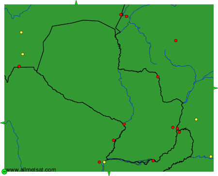
To change the map : click on the green buttons with a black cross to zoom in, on the green button with a dash to zoom out, or on the green arrows for adjacent maps.