METAR-TAF
Airports :
Guaraní International Airport
Ciudad Del Este, Paraguay
latitude: 25-27-20S, longitude: 054-50-37W, elevation: 257 m
Current weather observation
Broken clouds at a height of 2000 ft
Few clouds at a height of 4000 ft, Cumulonimbus.
METAR: SGES 280000Z COR 09008KT 9999 TS SCT010 BKN020 FEW040CB 17/16 Q1018
Time: 20:43 (00:43 UTC)
Forecast
from 28 at 06 UTC to 28 at 09 UTC
from 28 at 14 UTC to 28 at 18 UTC
Few clouds at a height of 4000 ft, Cumulonimbus.
from 28 at 20 UTC to 29 at 00 UTC
TAF: SGES 272130 2800/2900 12007KT 9999 SCT027 TX24/2818Z TN17/2810Z BECMG 2806/2809 9999 BKN020 PROB30 2814/2818 8000 TSRA BKN015 FEW040CB TEMPO 2820/2900 8000 -RA BKN020
Weather observations and forecasts of more than 4000 airports (METAR and TAF reports).
The available stations are represented by yellow and red dots on the map.
Hover mouse over dot to see the name of the station.
Then click to see weather observations and forecasts.
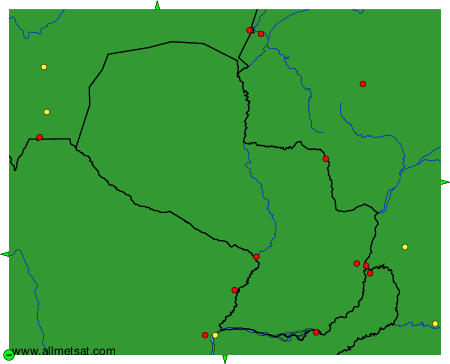
To change the map : click on the green buttons with a black cross to zoom in, on the green button with a dash to zoom out, or on the green arrows for adjacent maps.