METAR-TAF
Airports :
Yacuiba Airport
Yacuíba, Bolivia
latitude: 21-57S, longitude: 063-39W, elevation: 645 m
Current weather observation
The report was made 17 minutes ago, at 14:00 UTC
Calm wind
Temperature 26°C
Humidity 58%
Pressure 1015 hPa
Visibility 10 km or more
METAR: SLYA 291400Z 00000KT 9999 NSC 26/17 Q1015
Time: 10:17 (14:17 UTC)
Forecast
The report was made 16 hours and 17 minutes ago, at 22:00 UTC
Forecast valid from 29 at 00 UTC to 29 at 24 UTC
Wind kt from the North
Visibility 10 km or more
Becoming
from 29 at 16 UTC to 29 at 18 UTC
from 29 at 16 UTC to 29 at 18 UTC
Wind 10 kt from the South/Southwest
Scattered clouds at a height of 7000 ft
TAF: SLYA 282200Z 2900/2924 00000KT 9999 NSC TX28/2919Z TN11/2910Z BECMG 2916/2918 21010KT SCT070
Weather observations and forecasts of more than 4000 airports (METAR and TAF reports).
The available stations are represented by yellow and red dots on the map.
Hover mouse over dot to see the name of the station.
Then click to see weather observations and forecasts.
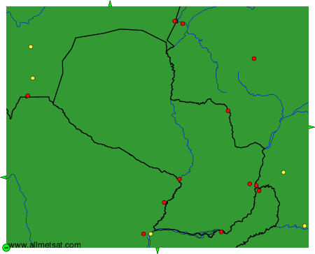
To change the map : click on the green buttons with a black cross to zoom in, on the green button with a dash to zoom out, or on the green arrows for adjacent maps.