METAR-TAF
Airports :
Santa Maria Airport
Santa Maria, Rio Grande do Sul, Brazil
latitude: 29-43S, longitude: 053-42W, elevation: 279 ft
Current weather observation
The report was made 5 hours and 18 minutes ago, at 03:00 UTC
Wind 2 mph from the West
Temperature 59°F
Humidity 94%
Pressure 30.00 in. Hg
Visibility 6.2 miles or more
Broken clouds at a height of 1700 ft
Overcast at a height of 3000 ft
Overcast at a height of 3000 ft
METAR: SBSM 120300Z 26002KT 9999 BKN017 OVC030 15/14 Q1016
Time: 05:18 (08:18 UTC)
Forecast
The report was made 5 hours and 18 minutes ago, at 03:00 UTC
Forecast valid from 12 at 06 UTC to 12 at 18 UTC
Wind 8 mph from the South/Southwest
Visibility: 19685 ft
Broken clouds at a height of 900 ft
light drizzle
Becoming
from 12 at 06 UTC to 12 at 08 UTC
from 12 at 06 UTC to 12 at 08 UTC
Visibility 6.2 miles or more
Broken clouds at a height of 2000 ft
TAF: SBSM 120300Z 1206/1218 20007KT 6000 -DZ BKN009 TN12/1207Z TX13/1218Z BECMG 1206/1208 9999 NSW BKN020 RMK PAE
Weather observations and forecasts of more than 4000 airports (METAR and TAF reports).
The available stations are represented by yellow and red dots on the map.
Hover mouse over dot to see the name of the station.
Then click to see weather observations and forecasts.
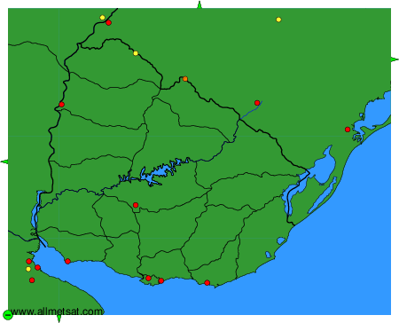
To change the map : click on the green buttons with a black cross to zoom in, on the green button with a dash to zoom out, or on the green arrows for adjacent maps.