METAR-TAF
Airports :
Ruben Berta International Airport
Uruguaiana, Rio Grande do Sul, Brazil
latitude: 29-47S, longitude: 057-02W, elevation: 74 m
METAR: missing
Time: 01:05 (04:05 UTC)
Forecast
The report was made 12 hours and 5 minutes ago, at 16:00 UTC
Forecast valid from 02 at 18 UTC to 03 at 06 UTC
Wind 7 kt from the East/Northeast
Visibility 10 km or more
Scattered clouds at a height of 800 ft
Broken clouds at a height of 1800 ft
Broken clouds at a height of 1800 ft
Becoming
from 02 at 19 UTC to 02 at 21 UTC
from 02 at 19 UTC to 02 at 21 UTC
Visibility 10 km or more
no clouds below 1500 m and no cumulonimbus
TAF: SBUG 021600Z 0218/0306 07007KT 9999 SCT008 BKN018 TX23/0218Z TN17/0305Z BECMG 0219/0221 CAVOK RMK PFM
Weather observations and forecasts of more than 4000 airports (METAR and TAF reports).
The available stations are represented by yellow and red dots on the map.
Hover mouse over dot to see the name of the station.
Then click to see weather observations and forecasts.
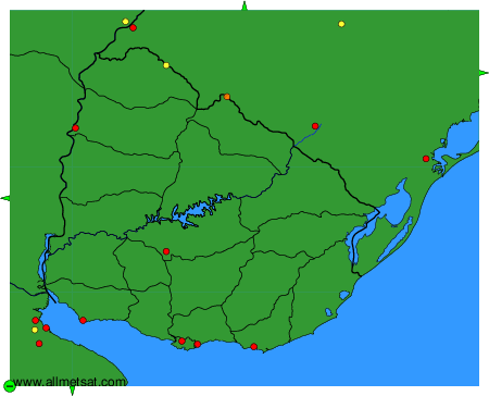
To change the map : click on the green buttons with a black cross to zoom in, on the green button with a dash to zoom out, or on the green arrows for adjacent maps.