METAR-TAF
Airports :
Santa Bernardina International Airport
Durazno, Uruguay
latitude: 33-21S, longitude: 056-30W, elevation: 93 m
Current weather observation
METAR: SUDU 242100Z 07005KT 9999 OVC017 14/11 Q1019
Time: 05:19 (08:19 UTC)
Forecast
from 25 at 06 UTC to 25 at 12 UTC
from 25 at 13 UTC to 25 at 15 UTC
Broken clouds at a height of 7000 ft
from 26 at 00 UTC to 26 at 02 UTC
from 26 at 01 UTC to 26 at 06 UTC
TAF: SUDU 250530Z 2506/2606 08005KT 3000 BR OVC008 TX18/2518Z TN07/2510Z TEMPO 2506/2512 0600 FG BKN003 BECMG 2513/2515 9999 BKN020 BKN070 BECMG 2600/2602 3000 BR OVC008 TEMPO 2601/2606 0500 FG OVC003
Weather observations and forecasts of more than 4000 airports (METAR and TAF reports).
The available stations are represented by yellow and red dots on the map.
Hover mouse over dot to see the name of the station.
Then click to see weather observations and forecasts.
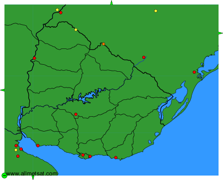
To change the map : click on the green buttons with a black cross to zoom in, on the green button with a dash to zoom out, or on the green arrows for adjacent maps.