METAR-TAF
Airports :
Carrasco International Airport
Montevideo, Uruguay
latitude: 34-50S, longitude: 056-00W, elevation: 32 m
Current weather observation
Overcast at a height of 10000 ft
METAR: SUMU 010634Z 23008KT 7000 TSRA SCT040CB OVC100 17/16 Q1008 NOSIG
Time: 03:44 (06:44 UTC)
Forecast
Overcast at a height of 8000 ft
from 01 at 06 UTC to 01 at 10 UTC
Scattered clouds at a height of 4000 ft, Cumulonimbus.
Overcast at a height of 6000 ft
from 01 at 06 UTC to 01 at 10 UTC
from 01 at 11 UTC to 01 at 18 UTC
Broken clouds at a height of 7000 ft
TAF: SUMU 010530Z 0106/0206 26015KT 9999 BKN020 OVC080 TX17/0118Z TN13/0110Z TEMPO 0106/0110 VRB25G35KT 1200 TSRA BR BKN010 SCT040CB OVC060 PROB40 TEMPO 0106/0110 0800 +TSRA GR TEMPO 0111/0118 20010KT 3000 RADZ BKN005 BKN070
Weather observations and forecasts of more than 4000 airports (METAR and TAF reports).
The available stations are represented by yellow and red dots on the map.
Hover mouse over dot to see the name of the station.
Then click to see weather observations and forecasts.
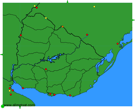
To change the map : click on the green buttons with a black cross to zoom in, on the green button with a dash to zoom out, or on the green arrows for adjacent maps.