METAR-TAF
Airports :
Surgut International Airport
Surgut, Russia
latitude: 61-15N, longitude: 073-30E, elevation: 44 m
Current weather observation
The report was made 29 minutes ago, at 05:00 UTC
Wind 6 kt from the West, varying between Southwest and West/Northwest
Temperature 27°C
Humidity 62%
Pressure 1005 hPa
Visibility 10 km or more
no clouds below 1500 m and no cumulonimbus
METAR: USRR 010500Z 26003MPS 230V290 CAVOK 27/19 Q1005 R07/CLRD// RMK QFE749
Time: 10:29 (05:29 UTC)
Forecast
The report was made 37 minutes ago, at 04:52 UTC
Forecast valid from 01 at 06 UTC to 02 at 06 UTC
Wind 6 kt from the West/Northwest with gusts up to 23 kt
Visibility 10 km or more
Scattered clouds at a height of 2000 ft
Becoming
from 01 at 09 UTC to 01 at 11 UTC
from 01 at 09 UTC to 01 at 11 UTC
Wind 10 kt from the Northeast with gusts up to 23 kt
Temporary
from 01 at 09 UTC to 01 at 18 UTC
from 01 at 09 UTC to 01 at 18 UTC
Broken clouds at a height of 1600 ft, Cumulonimbus.
thunderstorm, light rain, hail
Temporary
from 01 at 18 UTC to 02 at 06 UTC
from 01 at 18 UTC to 02 at 06 UTC
Wind 17 kt from the East/Northeast with gusts up to 33 kt
Visibility: 1200 m
Scattered clouds at a height of 500 ft
Broken clouds at a height of 1600 ft, Cumulonimbus.
Broken clouds at a height of 1600 ft, Cumulonimbus.
thunderstorm, rain
TAF: USRR 010452Z 0106/0206 29003G12MPS 9999 SCT020 BECMG 0109/0111 05005G12MPS TEMPO 0109/0118 -TSRAGR BKN016CB TEMPO 0118/0206 06009G17MPS 1200 TSRA SCT005 BKN016CB
Weather observations and forecasts of more than 4000 airports (METAR and TAF reports).
The available stations are represented by yellow and red dots on the map.
Hover mouse over dot to see the name of the station.
Then click to see weather observations and forecasts.
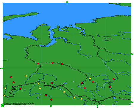
To change the map : click on the green buttons with a black cross to zoom in, on the green button with a dash to zoom out, or on the green arrows for adjacent maps.