METAR-TAF
Airports :
Koltsovo Airport
Yekaterinburg, Russia
latitude: 56-50N, longitude: 060-38E, elevation: 237 m
Current weather observation
The report was made 32 minutes ago, at 00:30 UTC
Wind 6 kt from the South/Southwest
Temperature 16°C
Humidity 100%
Pressure 1000 hPa
Visibility 10 km or more
Few clouds at a height of 900 ft
Broken clouds at a height of 2400 ft, Cumulonimbus.
Broken clouds at a height of 2400 ft, Cumulonimbus.
light rain showers
METAR: USSS 010030Z 21003MPS 9999 -SHRA FEW009 BKN024CB 16/16 Q1000 R26L/290350 R26R/290335 NOSIG RMK QFE729/0973
Time: 06:02 (01:02 UTC)
Forecast
The report was made 2 hours and 3 minutes ago, at 22:59 UTC
Forecast valid from 01 at 00 UTC to 01 at 24 UTC
Wind 12 kt from the Southwest with gusts up to 35 kt
Visibility: 6000 m
Broken clouds at a height of 1600 ft, Cumulonimbus.
light rain showers
Temporary
from 01 at 00 UTC to 01 at 24 UTC
from 01 at 00 UTC to 01 at 24 UTC
thunderstorm, light rain,
TAF: USSS 312259Z 0100/0124 23006G18MPS 6000 -SHRA BKN016CB TEMPO 0100/0124 -TSRA
Weather observations and forecasts of more than 4000 airports (METAR and TAF reports).
The available stations are represented by yellow and red dots on the map.
Hover mouse over dot to see the name of the station.
Then click to see weather observations and forecasts.
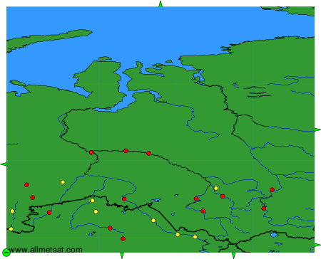
To change the map : click on the green buttons with a black cross to zoom in, on the green button with a dash to zoom out, or on the green arrows for adjacent maps.