10-day weather forecasts
Cities :
| temperatures, Weather | Wind |
Wajir, Kenya
| Wind (mean/gusts) in kt | ||||||||||||||||||||||||
| date |
| |||||||||||||||||||||||
| Thursday 25 |  17/27 | 14/26 |  10/21 | 16/20 | 16/17 | 15/16 | 14/17 | 15/25 | ||||||||||||||||
| Friday 26 | 16/27 | 14/27 | 09/18 | 17/21 | 17/18 | 17/17 | 21/20 | 19/26 | ||||||||||||||||
| Saturday 27 | 16/25 | 13/25 | 08/16 | 17/22 | 17/19 | 15/15 | 13/15 | 10/19 | ||||||||||||||||
| Sunday 28 | 16/27 | 13/25 | 11/23 | 17/21 | 17/17 | 17/15 | 11/16 | 18/26 | ||||||||||||||||
| Monday 29 | 16/25 | 12/22 | 08/14 | 15/19 | 18/19 | 17/17 | 14/16 | 19/23 | ||||||||||||||||
| Tuesday 30 | 17/25 | 14/24 | 10/20 | 16/19 | 17/18 | 16/17 | 18/19 | 20/25 | ||||||||||||||||
| Wednesday 01 | 17/26 | 14/25 | 08/16 | 15/20 | 18/20 | 18/19 | 17/20 | 15/25 | ||||||||||||||||
| Thursday 02 | 17/28 | 11/18 | 06/09 | 15/21 | 17/20 |  17/19 | 19/20 | 15/27 | ||||||||||||||||
| Friday 03 | 16/27 | 10/18 | 07/14 | 17/22 | 19/20 | 18/19 | 18/21 | 18/24 | ||||||||||||||||
| Change units ( kt, m/s, km/h, mph) | ||||||||||||||||||||||||
10-day weather forecasts for cities around the world.
The available cities are represented by red dots on the map.
Hover mouse over to see the name of the city.
Then click to see weather forecasts.
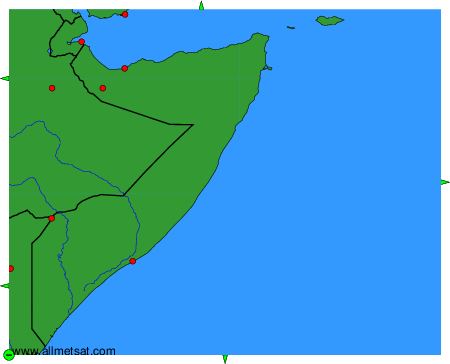
To change the map : click on the green buttons with a black cross to zoom in, on the green button with a dash to zoom out, or on the green arrows for adjacent maps.