Main page
METAR-TAF:

METAR-TAF

Airports :

San Fernando Airport

San Fernando, Argentina

latitude: 34-27-11S, longitude: 058-35-23W, elevation: 10 ft

Current weather observation

The report was made 55 minutes ago, at 22:00 UTC
Wind 12 mph from the Southeast
Temperature 73°F
Humidity 78%
Pressure 29.71 in. Hg
Visibility 6.2 miles or more
Scattered clouds at a height of 2300 ft

METAR: SADF 092200Z 13010KT 9999 SCT023 23/19 Q1006

Time: 19:55 (22:55 UTC)

Forecast

The report was made 5 hours and 55 minutes ago, at 17:00 UTC
Forecast valid from 09 at 18 UTC to 10 at 18 UTC
Wind 12 mph from the East/Southeast
Visibility: 6562 ft
Broken clouds at a height of 1000 ft
Overcast at a height of 3000 ft
rain, drizzle
Temporary
from 09 at 18 UTC to 09 at 24 UTC
Wind 17 mph from the East/Southeast with gusts up to 29 mph
Visibility: 3281 ft
Broken clouds at a height of 500 ft
Broken clouds at a height of 1000 ft
Few clouds at a height of 4000 ft, Cumulonimbus.
thunderstorm, heavy rain
Becoming
from 10 at 06 UTC to 10 at 08 UTC
Wind 6 mph from the South
Visibility: 9842 ft
Broken clouds at a height of 700 ft
mist
Probability 30% :
Temporary
from 10 at 06 UTC to 10 at 10 UTC
Visibility: 2625 ft
Broken clouds at a height of 600 ft
fog
Becoming
from 10 at 11 UTC to 10 at 13 UTC
Wind 6 mph from the East
Visibility 6.2 miles or more
Scattered clouds at a height of 2000 ft

TAF: SADF 091700Z 0918/1018 12010KT 2000 RADZ BKN010 OVC030 TX28/1018Z TN18/1009Z TEMPO 0918/0924 12015G25KT 1000 +TSRA BKN005 BKN010 FEW040CB BECMG 1006/1008 18005KT 3000 BR BKN007 PROB30 TEMPO 1006/1010 0800 FG BKN006 BECMG 1011/1013 09005KT 9999 NSW SCT020

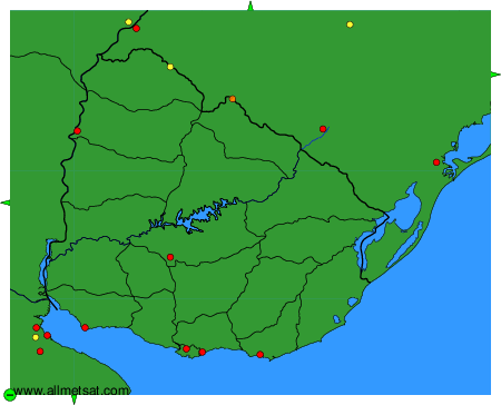
Weather observations and forecasts of more than 4000 airports (METAR and TAF reports).

The available stations are represented by yellow and red dots on the map.

Hover mouse over dot to see the name of the station.

Then click to see weather observations and forecasts.

To change the map : click on the green buttons with a black cross to zoom in, on the green button with a dash to zoom out, or on the green arrows for adjacent maps.


METAR-TAF: