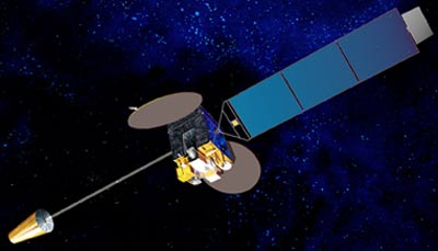
Himawari

Operator: Japan Meteorological Agency.
Launch date: 02/2005 (MTSAT-1R), 02/2006 (MTSAT-2)
Type of orbit: Geostationary
Position: 145°E
Instrument: radiometer
The radiometer scans the earth's surface line by line; each line consists of a series of individual image elements or pixels. For each pixel the radiometer measures the radiative energy of the different spectral bands. This measurement is digitally coded and transmitted to the ground station for pre-processing before being disseminated to the user community.
| channel | Wavelength (µm) |
| VIS | 0.55 - 0.80 |
| IR1 | 10.3 - 11.3 |
| IR2 | 11.5 - 12.5 |
| IR3 | 6.5 - 7.0 |
| IR4 | 3.5 - 4.0 |