Airports
Airports :
Vicecomodoro Ángel de la Paz Aragonés Airport
Santiago del Estero, Argentina
latitude: 27-46S, longitude: 064-18W, elevation: 198 m
Interactive airport maps.
The available airports are represented by yellow and red dots on the map.
Hover mouse over to see the name of the airport.
Then click to see the images.
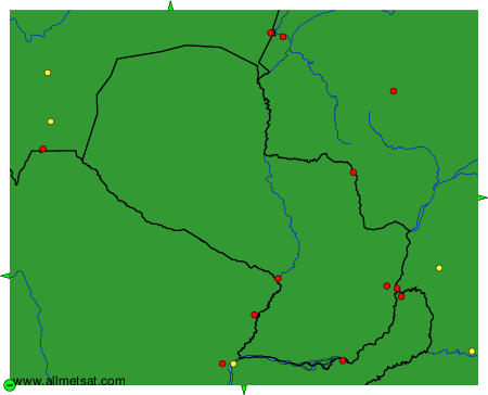
To change the map : click on the green buttons with a black cross to zoom in, on the green button with a dash to zoom out, or on the green arrows for adjacent maps.