METAR-TAF
Airports :
Lanzhou Zhongchuan International Airport
Lanzhou, China
latitude: 36-02N, longitude: 103-52E, elevation: 1518 m
Current weather observation
The report was made 49 minutes ago, at 08:00 UTC
Wind 6 kt from variable directions
Temperature 29°C
Humidity 43%
Pressure 1011 hPa
Visibility 10 km or more
Scattered clouds at a height of 2000 ft
METAR: ZLLL 290800Z VRB03MPS 9999 SCT020 29/15 Q1011 BECMG TL0940 36007MPS
Time: 16:49 (08:49 UTC)
Forecast
The report was made 5 hours and 42 minutes ago, at 03:07 UTC
Forecast valid from 29 at 06 UTC to 30 at 06 UTC
Wind 6 kt from the South
Visibility: 6000 m
Scattered clouds at a height of 2000 ft
Broken clouds at a height of 4000 ft
Broken clouds at a height of 4000 ft
Temporary
from 29 at 12 UTC to 29 at 16 UTC
from 29 at 12 UTC to 29 at 16 UTC
Wind 19 kt from the North with gusts up to 29 kt
Few clouds at a height of 3300 ft, Cumulonimbus.
Broken clouds at a height of 4000 ft
Broken clouds at a height of 4000 ft
thunderstorm, rain
TAF: ZLLL 290307Z 2906/3006 19003MPS 6000 SCT020 BKN040 TX28/2909Z TN17/2922Z TEMPO 2912/2916 35010G15MPS TSRA FEW033CB BKN040
Weather observations and forecasts of more than 4000 airports (METAR and TAF reports).
The available stations are represented by yellow and red dots on the map.
Hover mouse over dot to see the name of the station.
Then click to see weather observations and forecasts.
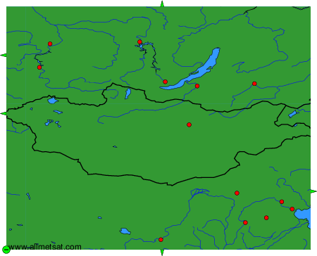
To change the map : click on the green buttons with a black cross to zoom in, on the green button with a dash to zoom out, or on the green arrows for adjacent maps.