METAR-TAF
Airports :
Aeroparque Jorge Newbery
Buenos Aires, Argentina
latitude: 34-34S, longitude: 058-25W, elevation: 6 m
Current weather observation
The report was made 14 minutes ago, at 23:00 UTC
Wind 9 kt from the Southeast, varying between East/Southeast and South
Temperature 13°C
Humidity 88%
Pressure 1013 hPa
Visibility 10 km or more
Overcast at a height of 800 ft
METAR: SABE 282300Z 14009KT 120V180 9999 OVC008 13/11 Q1013 NOSIG
Time: 20:14 (23:14 UTC)
Forecast
The report was made 6 hours and 14 minutes ago, at 17:00 UTC
Forecast valid from 28 at 18 UTC to 29 at 18 UTC
Wind 15 kt from the East
Visibility 10 km or more
Scattered clouds at a height of 1000 ft
Overcast at a height of 2000 ft
Overcast at a height of 2000 ft
Becoming
from 29 at 00 UTC to 29 at 03 UTC
from 29 at 00 UTC to 29 at 03 UTC
Wind 10 kt from the East/Southeast
Visibility: 3000 m
Broken clouds at a height of 500 ft
mist
Becoming
from 29 at 10 UTC to 29 at 12 UTC
from 29 at 10 UTC to 29 at 12 UTC
Visibility: 8000 m
Broken clouds at a height of 1000 ft
Becoming
from 29 at 14 UTC to 29 at 16 UTC
from 29 at 14 UTC to 29 at 16 UTC
TAF: SABE 281700Z 2818/2918 10015KT 9999 SCT010 OVC020 TX17/2818Z TN10/2910Z BECMG 2900/2903 12010KT 3000 BR BKN005 BECMG 2910/2912 8000 BKN010 BECMG 2914/2916 CAVOK
Weather observations and forecasts of more than 4000 airports (METAR and TAF reports).
The available stations are represented by yellow and red dots on the map.
Hover mouse over dot to see the name of the station.
Then click to see weather observations and forecasts.
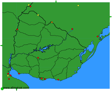
To change the map : click on the green buttons with a black cross to zoom in, on the green button with a dash to zoom out, or on the green arrows for adjacent maps.