METAR-TAF
Airports :
San Fernando Airport
San Fernando, Argentina
latitude: 34-27-11S, longitude: 058-35-23W, elevation: 3 m
Current weather observation
The report was made 50 minutes ago, at 05:00 UTC
Wind 4 kt from the East
Temperature 14°C
Humidity 94%
Pressure 1016 hPa
Visibility 10 km or more
no clouds below 1500 m and no cumulonimbus
METAR: SADF 030500Z 08004KT CAVOK 14/13 Q1016
Time: 02:50 (05:50 UTC)
Forecast
The report was made 50 minutes ago, at 05:00 UTC
Forecast valid from 03 at 06 UTC to 04 at 06 UTC
Wind 5 kt from the East/Northeast
Visibility 10 km or more
no clouds below 1500 m and no cumulonimbus
Temporary
from 03 at 07 UTC to 03 at 11 UTC
from 03 at 07 UTC to 03 at 11 UTC
Visibility: 0800 m
Broken clouds at a height of 1000 ft
fog
Becoming
from 03 at 16 UTC to 03 at 18 UTC
from 03 at 16 UTC to 03 at 18 UTC
Wind 10 kt from the East/Southeast
Scattered clouds at a height of 3000 ft
Broken clouds at a height of 5000 ft
Broken clouds at a height of 5000 ft
Probability 30% :
Temporary
from 03 at 18 UTC to 03 at 22 UTC
from 03 at 18 UTC to 03 at 22 UTC
Visibility: 8000 m
rain showers,
TAF: SADF 030500Z 0306/0406 06005KT CAVOK TX18/0318Z TN13/0311Z TEMPO 0307/0311 0800 FG BKN010 BECMG 0316/0318 12010KT SCT030 BKN050 PROB30 TEMPO 0318/0322 8000 SHRA
Weather observations and forecasts of more than 4000 airports (METAR and TAF reports).
The available stations are represented by yellow and red dots on the map.
Hover mouse over dot to see the name of the station.
Then click to see weather observations and forecasts.
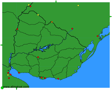
To change the map : click on the green buttons with a black cross to zoom in, on the green button with a dash to zoom out, or on the green arrows for adjacent maps.