METAR-TAF
Airports :
Ministro Pistarini International Airport
Ezeiza, Argentina
latitude: 34-49S, longitude: 058-32W, elevation: 20 m
Current weather observation
METAR: SAEZ 310900Z 06010KT 9999 FEW040 15/13 Q1010 NOSIG
Time: 07:03 (10:03 UTC)
Forecast
from 31 at 12 UTC to 31 at 14 UTC
Overcast at a height of 4000 ft
from 31 at 14 UTC to 31 at 15 UTC
Few clouds at a height of 4000 ft, Cumulonimbus.
from 31 at 22 UTC to 01 at 06 UTC
Overcast at a height of 2000 ft
Few clouds at a height of 4000 ft, Cumulonimbus.
TAF: SAEZ 310500Z 3106/0106 04010KT CAVOK TX19/3118Z TN13/3110Z BECMG 3112/3114 9999 BKN020 OVC040 BECMG 3114/3115 6000 TSRA BKN015 FEW040CB TEMPO 3122/0106 02020G40KT 0100 +TSRA BKN008 OVC020 FEW040CB
Weather observations and forecasts of more than 4000 airports (METAR and TAF reports).
The available stations are represented by yellow and red dots on the map.
Hover mouse over dot to see the name of the station.
Then click to see weather observations and forecasts.
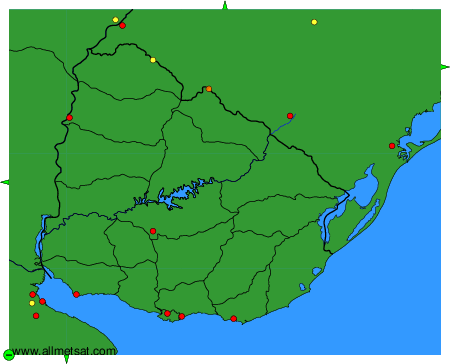
To change the map : click on the green buttons with a black cross to zoom in, on the green button with a dash to zoom out, or on the green arrows for adjacent maps.